 01
01
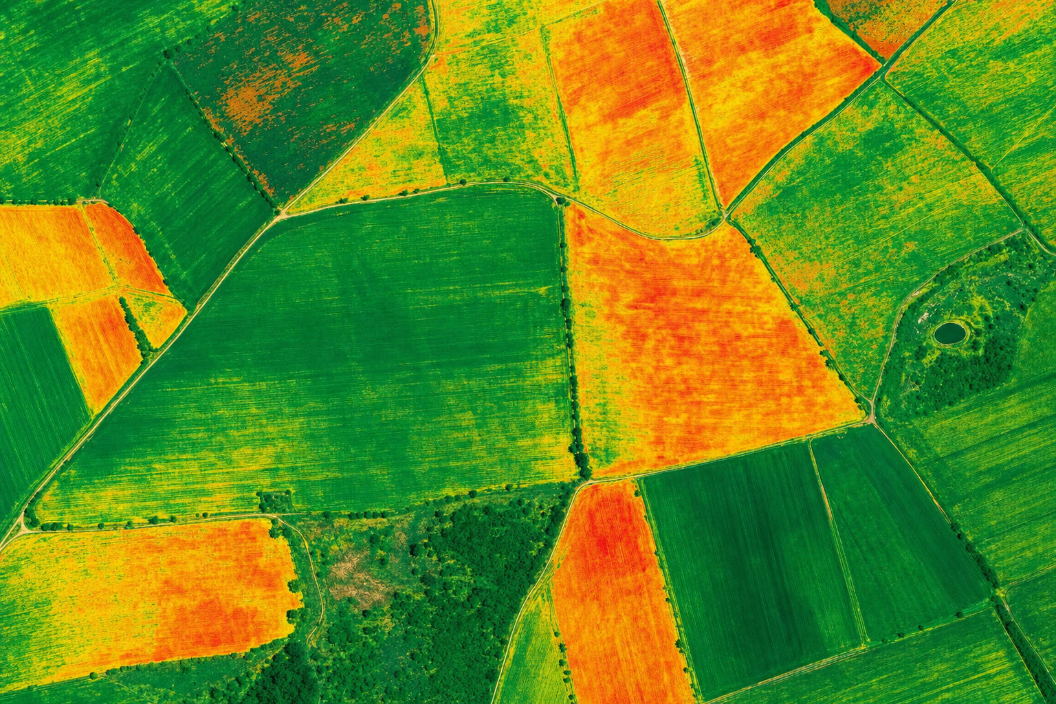
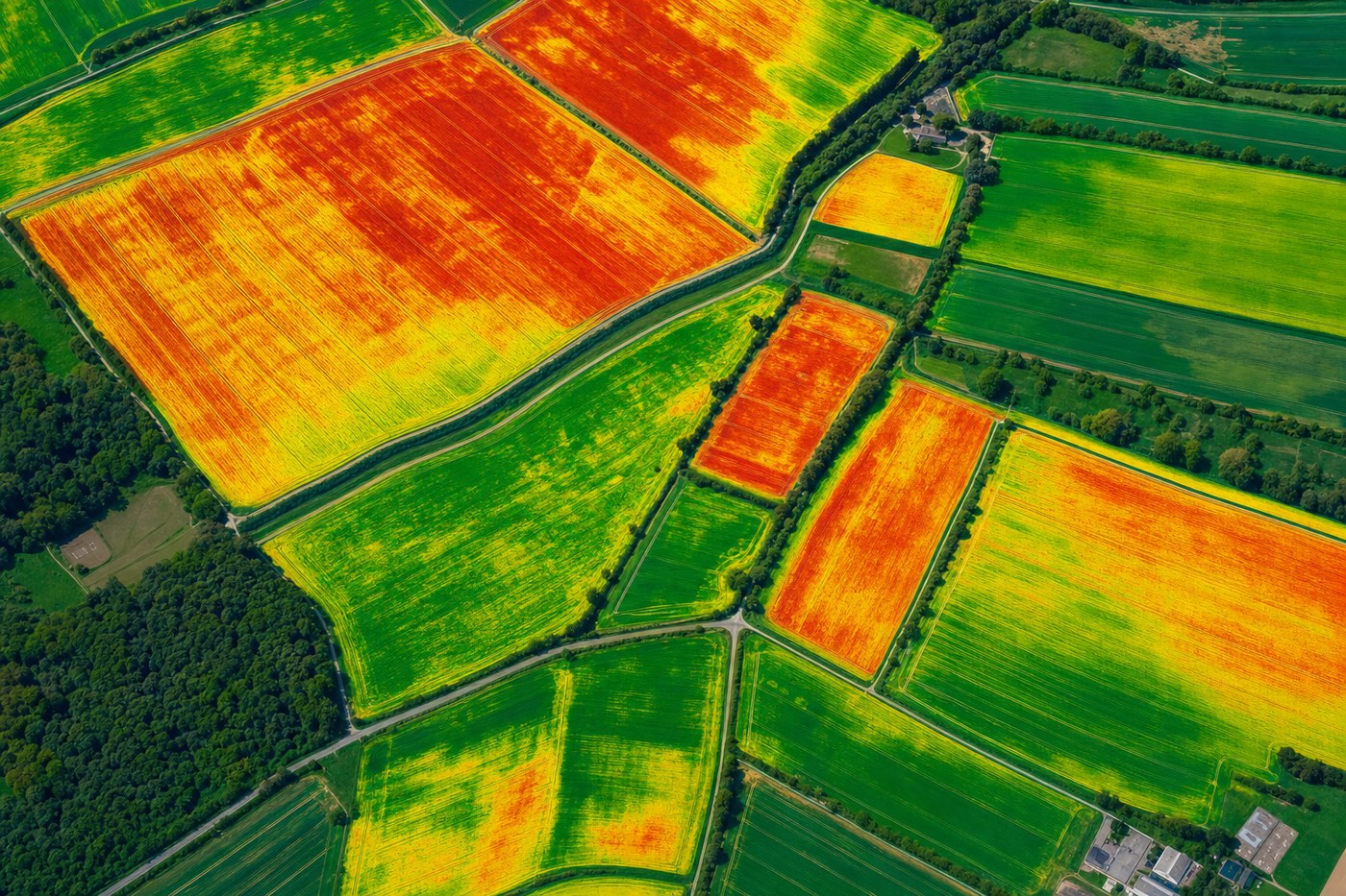
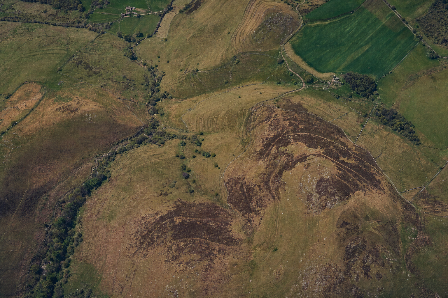
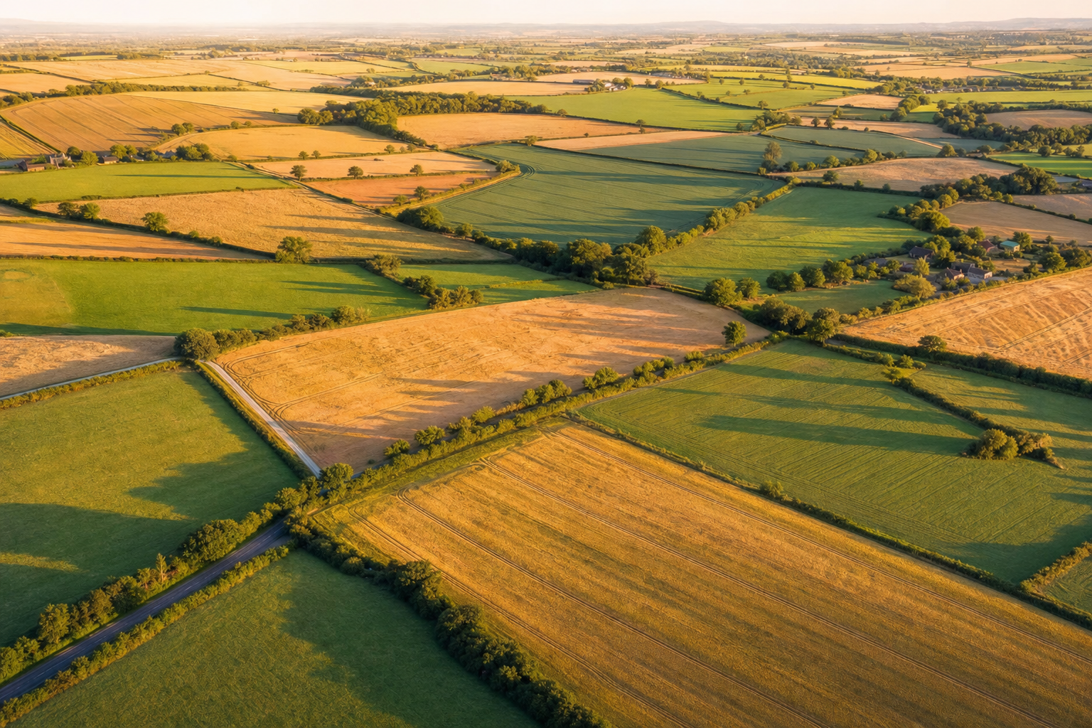
Field Mapping
Centimetre-accurate orthomosaic maps of your entire farm or individual fields. Used for planning, boundary verification and precision agriculture setup. Delivered as GeoTIFF and KMZ files.
- Georeferenced orthomosaic (GeoTIFF)
- Field boundary shapefile
- Accuracy report with GCPs