

Stroud · GloucestershireDrone surveys in Stroud
Drone surveys in Stroud
Gloucestershire
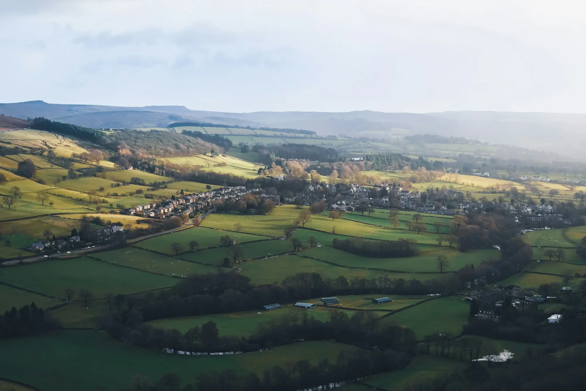
Stroud's Five Valleys mean steep slopes, mixed farmland and buildings that are awkward to reach. A drone handles all three — mapping sloping fields accurately and inspecting roofs and mill buildings that would otherwise need extensive scaffolding.
Drone survey services in Stroud
- 3D terrain models for sloping and valley-side fields
- Drainage surveys and flow-path mapping
- Roof and facade inspections for mills and terraced properties
- Topographic surveys for planning applications
Prices for Stroud surveys
| Service | From (ex-VAT) |
|---|---|
| Field mapping & boundaries | £450 |
| Crop scouting & NDVI | £400 per visit |
| Topographic site survey | £650 |
| Volumetric stockpile survey | £450 |
| Roof inspection (residential / commercial) | £450 / £700 |
Stroud is within our 30-mile free call-out zone from Cheltenham, so you only pay for the survey itself.
How it works
- Tell us the site, what you need and when.
- We send a fixed quote and check airspace and permissions.
- We fly the site, usually in a single visit.
- Your maps, models or report are delivered once processing and checks are complete.
Also covering
Drone survey Gloucester · Drone survey Cirencester · Drone survey Cheltenham
Frequently asked questions
Do you charge a call-out fee in Stroud?
No. Stroud is within 30 miles of our Cheltenham base, so there is no call-out charge.
3 months of the Farm Dashboard free for new clients
Tell us about your land or site.
We reply with a fixed, no-obligation price. Free call-out within 30 miles of Cheltenham.