 01
01
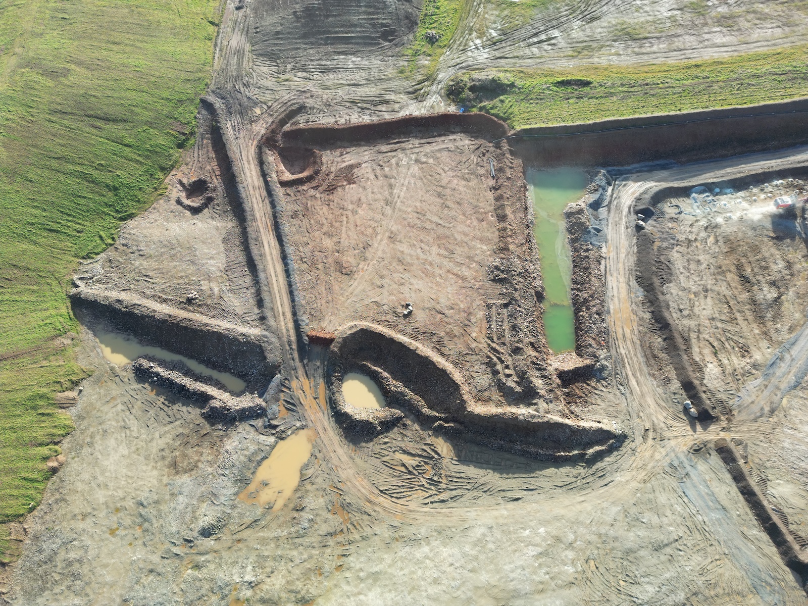
Site Survey
Comprehensive pre-construction topographic surveys capturing existing ground levels, features and boundaries. Delivered as CAD-ready DXF files and georeferenced rasters for design teams.
- Georeferenced orthomosaic
- DTM / DSM point cloud (LAS)
- CAD-ready DXF contour file