Your land,
seen whole.
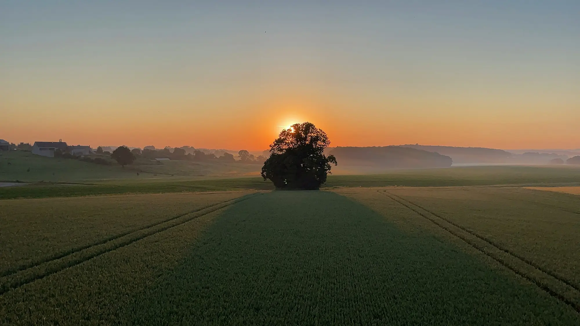
Drone mapping, crop health and site surveys for farms, estates and builders across Gloucestershire and the Cotswolds.
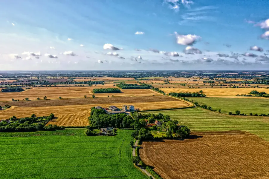
We fly farms, estates and building sites and turn what we see into maps, models and reports you can act on.
For the farm
Field mapping, NDVI crop health, drainage, yield and habitat surveys.
8 services · from £400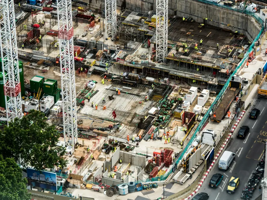
For the site
Topographic surveys, stockpile volumes, cut & fill and progress monitoring.
7 services · from £450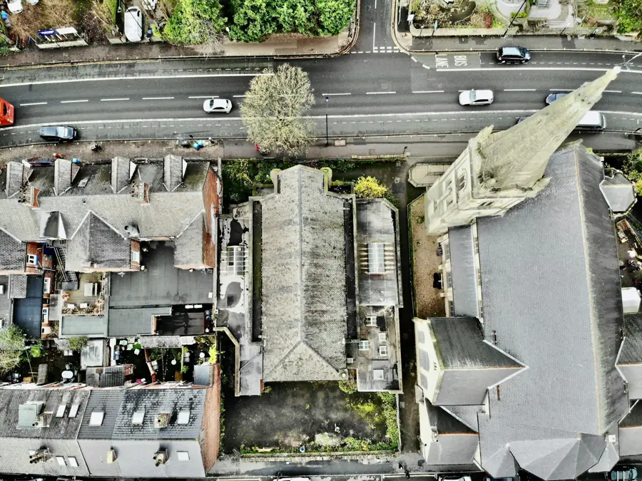
For the roof
Roof, structure and solar panel inspections without scaffolding.
2 services · from £400Surveys that pay for themselves.
Every survey has its own page with deliverables, file formats and a full price breakdown.
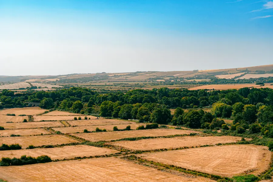
Field Mapping & Boundary Survey
An up-to-date, centimetre-detail aerial map of every field you farm.
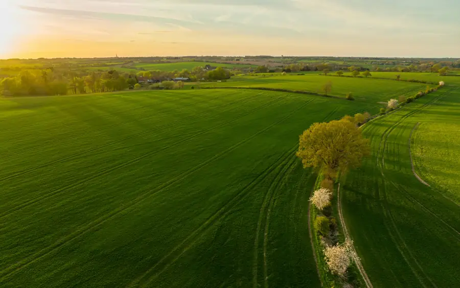
NDVI & Crop Health Analysis
NDVI (Normalised Difference Vegetation Index) shows how vigorously your crop is growing, metre by metre.
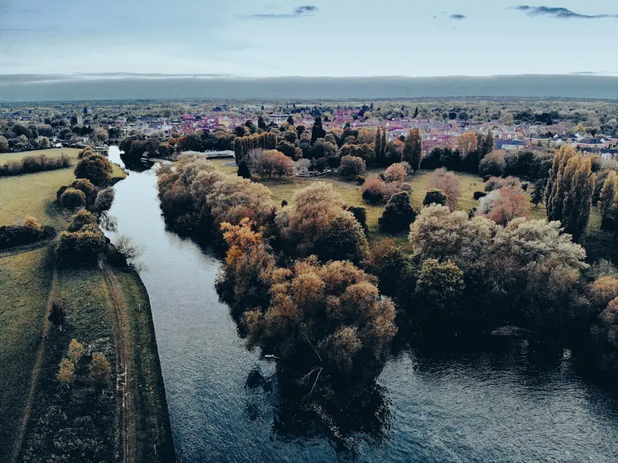
Irrigation, Drainage & Waterlogging Survey
Water goes where the ground tells it to.
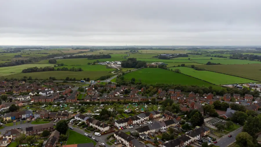
Topographic Site Survey
A drone topographic survey captures the shape of your whole site in detail.
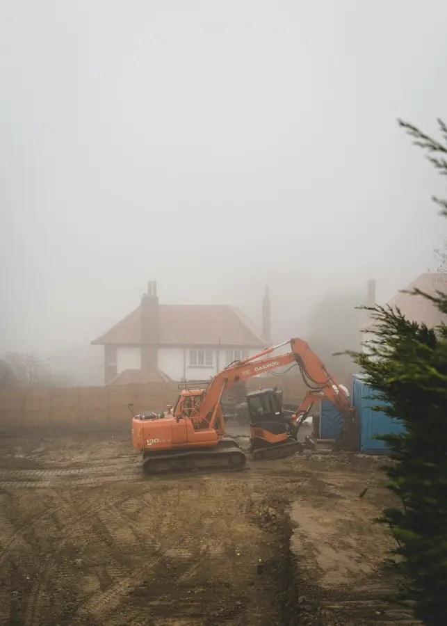
Volumetric & Stockpile Survey
Measuring stockpiles by hand is slow, risky and imprecise.
Roof & Structure Inspection
See the whole roof, close up, without anyone going up a ladder.
Clear prices. Proper files. No scaffolding.
Fixed quotes, standard file formats that open in the software you already use, and a local operator who knows Gloucestershire land.
- £400
- Starting price, ex-VAT
- 17
- Survey services
- 1.5cm
- Ground detail per pixel
- 30mi
- Free call-out from Cheltenham
Honest, fixed prices.
Minimum fees shown. Larger sites are priced per acre, with discounts from 50 acres and for three or more visits.
Agriculture
- Field Mapping & Boundary Survey£450
- Crop Scouting & In-Season Monitoring£400/visit
- NDVI & Crop Health Analysis£400/visit
- Irrigation, Drainage & Waterlogging Survey£550
- Yield Mapping & Yield PotentialPOA
- Crop Establishment & Stand Count£400
- Hedge & Habitat Mapping£450
- 3D Terrain Model (DSM/DTM) for Farmland£600
Construction
Inspection
- Roof & Structure Inspection£450 residential
- Solar Panel Inspection£400 residential
All prices exclude VAT. Full rate card and price adjustments · Drone survey cost guide
Simple from start to finish.
Brief & quote
Tell us the site, its size and what you need. We reply with a fixed, no-obligation price.
Plan
We check airspace, permissions and weather, and complete a risk assessment before every flight.
Fly
An automated flight plan captures overlapping imagery across the whole site, usually in one visit.
Deliver
Maps, models and reports are processed, checked and delivered by secure download.
Everything on your farm, in one app.
Your survey data lives alongside the rest of the farm — a private online portal that works on any device, even offline in the field.
- Drone surveys in your pocketNDVI maps, imagery and reports on an interactive farm map.
- Complete field recordsCropping, rotations and operations — audit and Red Tractor ready.
- Farm office in one placeBudgets, per-field margins, grain contracts and documents.
- Compliance made easyStatutory logs, scheme deadlines and SFI payment forecasts.
- Livestock recordsHerd register, movements, medicine book and TB tracking.
- Smart daily toolsSpray-day checker, grain prices and an AI daily briefing.
3 months free
Free access to the Farm Dashboard with your first survey.
Free call-out
No travel charge within 30 miles of Cheltenham.
50% off for life
Half-price Farm Dashboard for the first 5 farms to join.
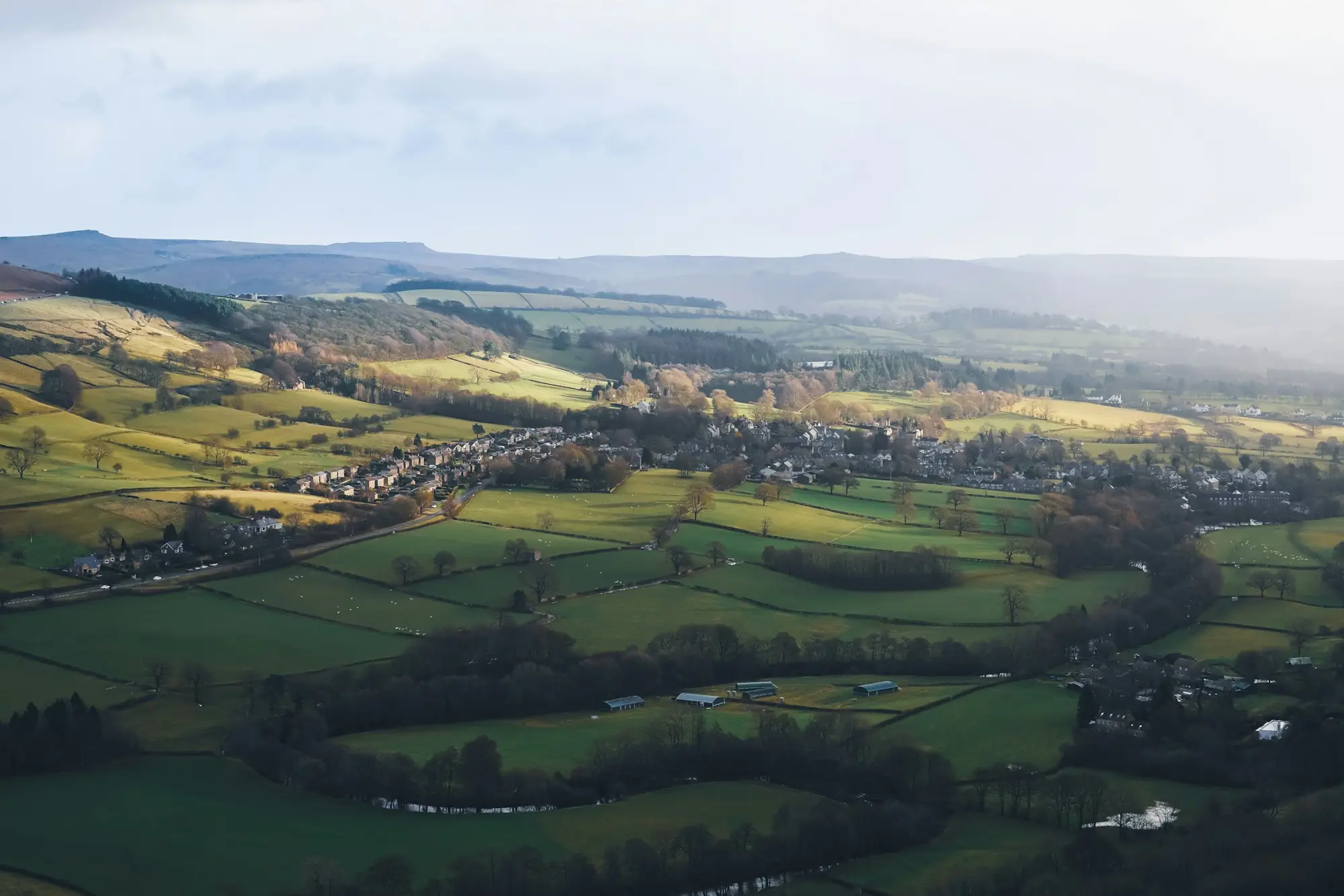
Flown and filmed by WDG — the same team behind WDG Videography.
See our aerial film workQuestions, answered.
What areas do you cover for drone surveys?
We are based in Cheltenham and cover all of Gloucestershire including Gloucester, Cirencester, Stroud, Tewkesbury and surrounding areas within 30 miles — with no call-out charge. We also cover parts of Worcestershire, Oxfordshire and Wiltshire.
Are you CAA registered?
Yes. WDG Agriculture holds a CAA Operator ID and operates DJI Mavic 3 Multispectral under UK1 class — meaning no additional authorisation is required for most commercial survey operations.
How accurate are your drone surveys?
Our DJI Mavic 3 Multispectral achieves a ground sample distance (GSD) of around 1.5 cm, delivering highly detailed imagery suitable for construction site surveys, topographic mapping, volumetric calculations and precision agriculture.
What drone survey services do you offer?
We offer 14 services across three sectors: Agriculture (field mapping, crop scouting, NDVI & soil analysis, irrigation planning, yield mapping, topographic survey), Construction (site survey, volumetric calculations, progress monitoring, as-built documentation, cut & fill analysis, facade survey) and Inspection (roof survey, solar panel inspection).
What data formats do you deliver?
Deliverables include geo-referenced orthomosaics (GeoTIFF), point clouds (LAS/LAZ), 3D surface models (DEM/DSM), NDVI raster maps, PDF reports and raw imagery — all provided via secure download link.
Ready when you are.
Tell us about your land or project and we’ll send a fixed, no-obligation quote.